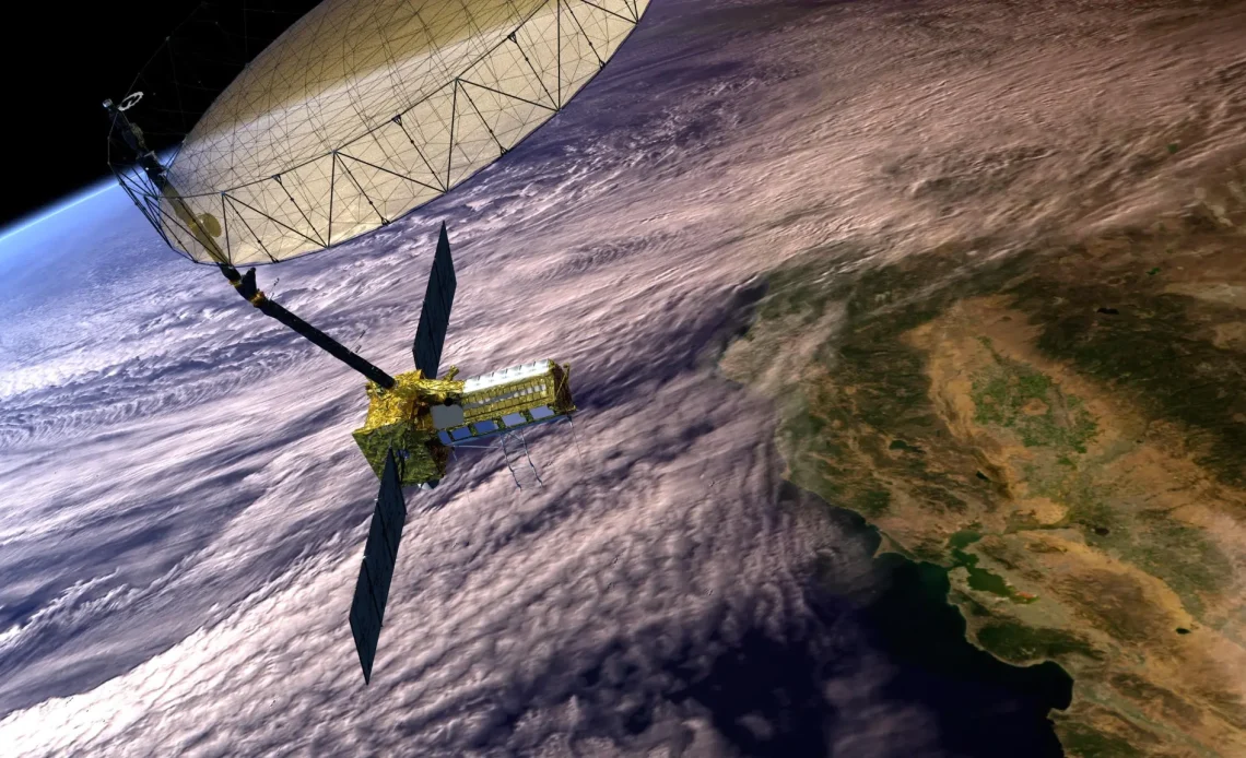
The NASA-ISRO Synthetic Aperture Radar (NISAR) satellite is an ambitious Earth-observation initiative created through a groundbreaking partnership between NASA and the Indian Space Research Organisation (ISRO). Scheduled to launch from India in early 2025, NISAR is engineered to provide critical insights into the Earth’s surface movements, honing in on areas prone to natural hazards such as earthquakes, landslides, and volcanic activity. By capturing minuscule changes, down to fractions of an inch—NISAR’s data aims to revolutionise our understanding of these dynamic processes, supporting more responsive disaster management and infrastructure monitoring.
NISAR’s Advanced Monitoring Technology
According to NASA’s latest update, NISAR will feature sophisticated L-band and S-band radar systems to maximise Earth surface observation. Developed by NASA’s Jet Propulsion Laboratory (JPL) in Southern California, the L-band radar is designed to penetrate dense vegetation and capture surface shifts, while ISRO’s S-band radar enhances imaging precision.
Remarkably, NISAR will survey almost all land and ice-covered regions twice every 12 days, providing uninterrupted data collection regardless of time, weather, or cloud cover. Cathleen Jones, JPL’s mission applications lead, notes that this capability ensures consistent and comprehensive Earth monitoring.
In addition to its applications in observing natural hazards, NISAR’s sensitivity to subtle ground movement offers valuable insights into earthquake-prone regions. Mark Simons, the project’s U.S. Solid Earth Science Lead, underscores that while NISAR won’t predict earthquakes, it can identify areas where faults are locked, highlighting regions more susceptible to seismic events.
Infrastructure and Environmental Applications
The satellite’s ongoing data collection is expected to play a vital role in infrastructure monitoring, particularly for critical structures like dams, levees, and aqueducts. By identifying areas showing potential shifts, resource managers can focus inspections on high-risk zones, saving both time and resources on manual checks. In California’s Sacramento-San Joaquin River Delta, for instance, NISAR’s data will enable remote monitoring for any earthquake-induced shifts, enhancing safety protocols.
A Landmark Collaboration in Space Technology
This mission signifies the first-ever joint Earth observation project between NASA and ISRO, blending expertise from both agencies. While NASA provides mission-specific technology, including radar and communication systems, ISRO manages the satellite bus, launch logistics, and mission operations. The collaborative data from NISAR promises to deepen our understanding of Earth’s dynamic systems, benefiting research, environmental safety, and infrastructure management worldwide.

